Generating Heightmaps from Google Earth

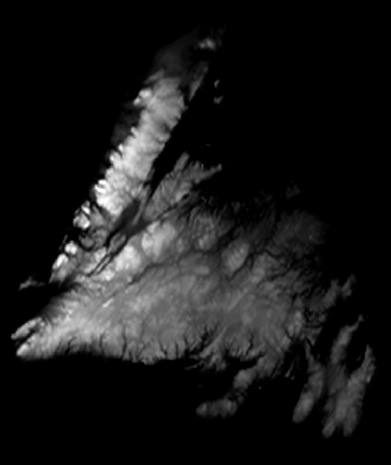
I’ve been hunting for a way to generate a heightmap for my area and came across this neat resource… generates grayscale heightmaps from Google Earth. Just zoom to the locale you want an image for, adjust the settings (or leave it on auto) and download the PNG. Then you can edit out the excess image in the graphic editing program of your choice.

http://www.3d-map-generator.com/heightmapper_3dmgt_2017/

Generated image:

4 Likes

There’s this for making models directly:
http://jthatch.com/Terrain2STL/

4 Likes

Thanks for the link!

1 Like

I got this off of one of Winston Moy’s videos. It’s not perfect, but it’s the best free app I’ve found.

You can either export the image, or snip the section you want.

https://tangrams.github.io/heightmapper/

2 Likes

https://touchterrain.geol.iastate.edu is also quite good

2 Likes

That one isn’t bad, but unfortunately it doesn’t work for mountains. The sun direction doesn’t allow for “high noon”, so one side of the mountain or the other. That shadow forces a negative height in the model when it reads the greyscale.

but it exports STL directly :slight_smile:

1 Like

I’m not sure why that is a good thing? STLS need to be converted to PNGs for CC to send them to CM.

Tanagram exports them as PNGs which can be opened with CC.

Is there a benefit I am missing in the step of STL to PNG?

Direct import into several other programs.
Also, some guy around here wrote a program that will import your STL and generate toolpaths in a crazy quick way!