I can find grayscale maps of Michigan on tangram, but has anyone found a map that includes the grayscale topo of the floors of the great lakes? I’d like to do the topo of that rather than just the outline and surface of the state.
Thanks,
Adam
I can find grayscale maps of Michigan on tangram, but has anyone found a map that includes the grayscale topo of the floors of the great lakes? I’d like to do the topo of that rather than just the outline and surface of the state.
Thanks,
Adam
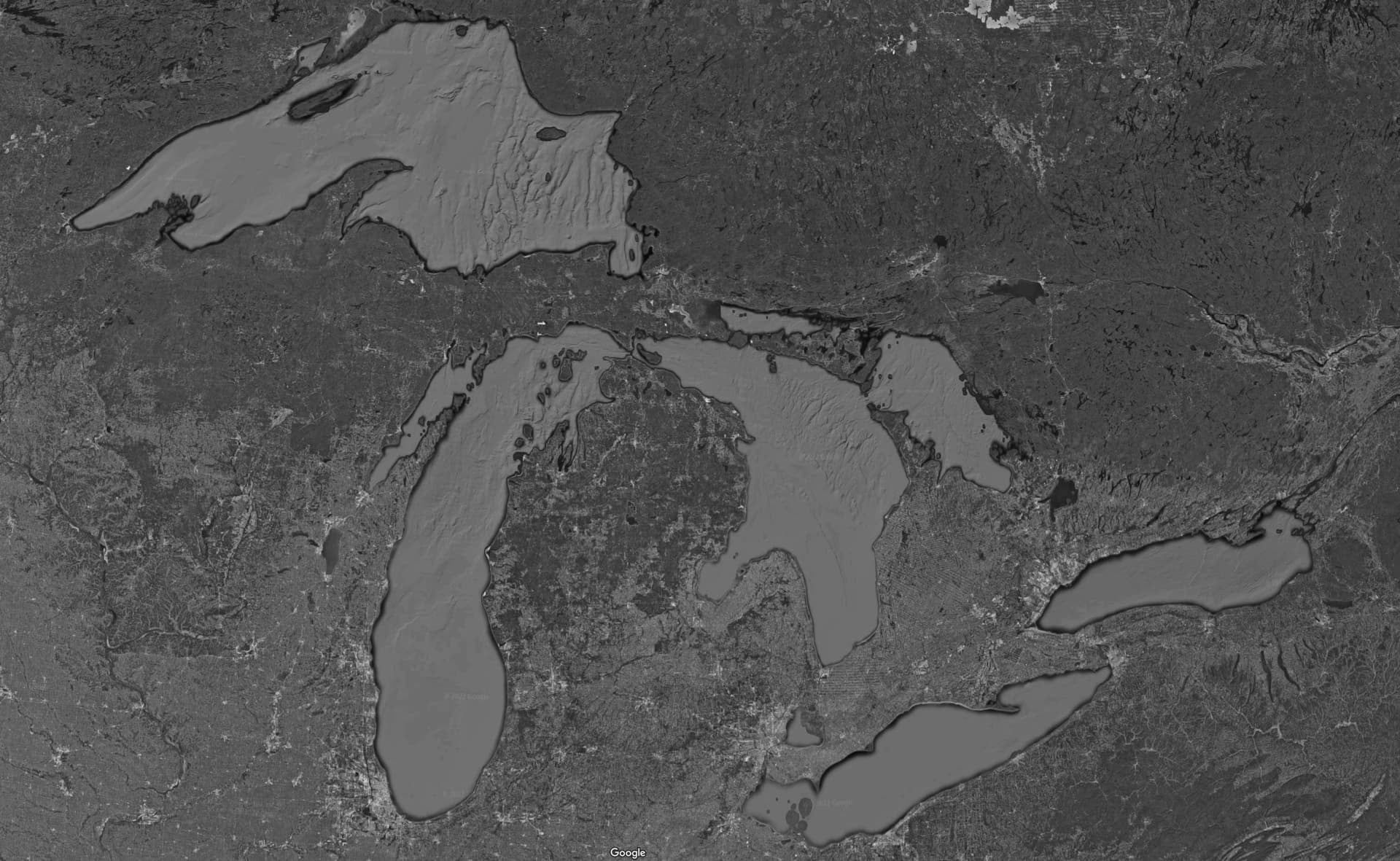
If you cannot find a source Google Maps does have topology however when the “Map Type” is “Default” and the “Map Details” has “Topology” selected you only get the detail on the terrain and not the lakes, oceans, … That said if you select the “Map Type” as “Satellite” and “Map details” has “Topology” it will provide some topology for the great lakes.
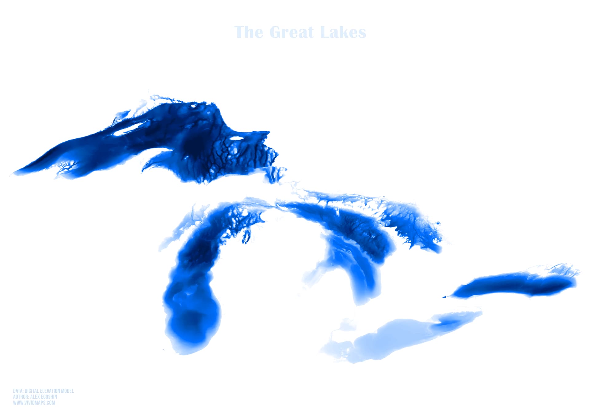
Also found this which may be of help but some photo editing would be required to merge with your terrain source of the area.
Maps of the Great Lakes ← If you go to this site looks like they also have higher resolution image of each lake individually.
Someone a while back also mentioned what you are looking for is called “bathymetry” and searching for that term this is another link you may be interested in National Centers for Environmental Information
Thanks. I knew about bathymetry, was just hoping someone had already done the work of combining elevation above lake level with elevation below lake level for me…
Thanks for the Google maps image, that’s pretty close!
Adam
With the great lake pictures with the white background it’ll probably be fairly easy to use the “magic wand” selection tool in many photo editing software’s with some tweaking to get the lake topology isolated and added to your file.
This topic was automatically closed after 30 days. New replies are no longer allowed.