looking for create place for topo maps that are free.
I am leaving for smith mountain lake on thursday and would love to run a topo map with lake of SML VA
looking for create place for topo maps that are free.
I am leaving for smith mountain lake on thursday and would love to run a topo map with lake of SML VA
Did you ever try to overlay road maps on to a terrain model ?
I have looked into it, but never got off the dime. Found QGIS, my brain fried
If you can get the roads as a series of closed geometries which a small ball nose can fit into, they can be added to the model, temporarily disabled, then cut with a small ball nose tool when enabled and cut with that geometry selected.
It’s the alignment of road data to topo data that has me twisted
I’ve been using Touch Terrain for a bit and it seems well enough. I’ve looked at QGIS and it was far too complex for me to use for the occasional topo map. You can also use Tangram Heighmapper as it will let you dump out the grayscale heighmap that CCreate Pro will recognize. IDK if it will export the streets, but you can visualize them on the web page.
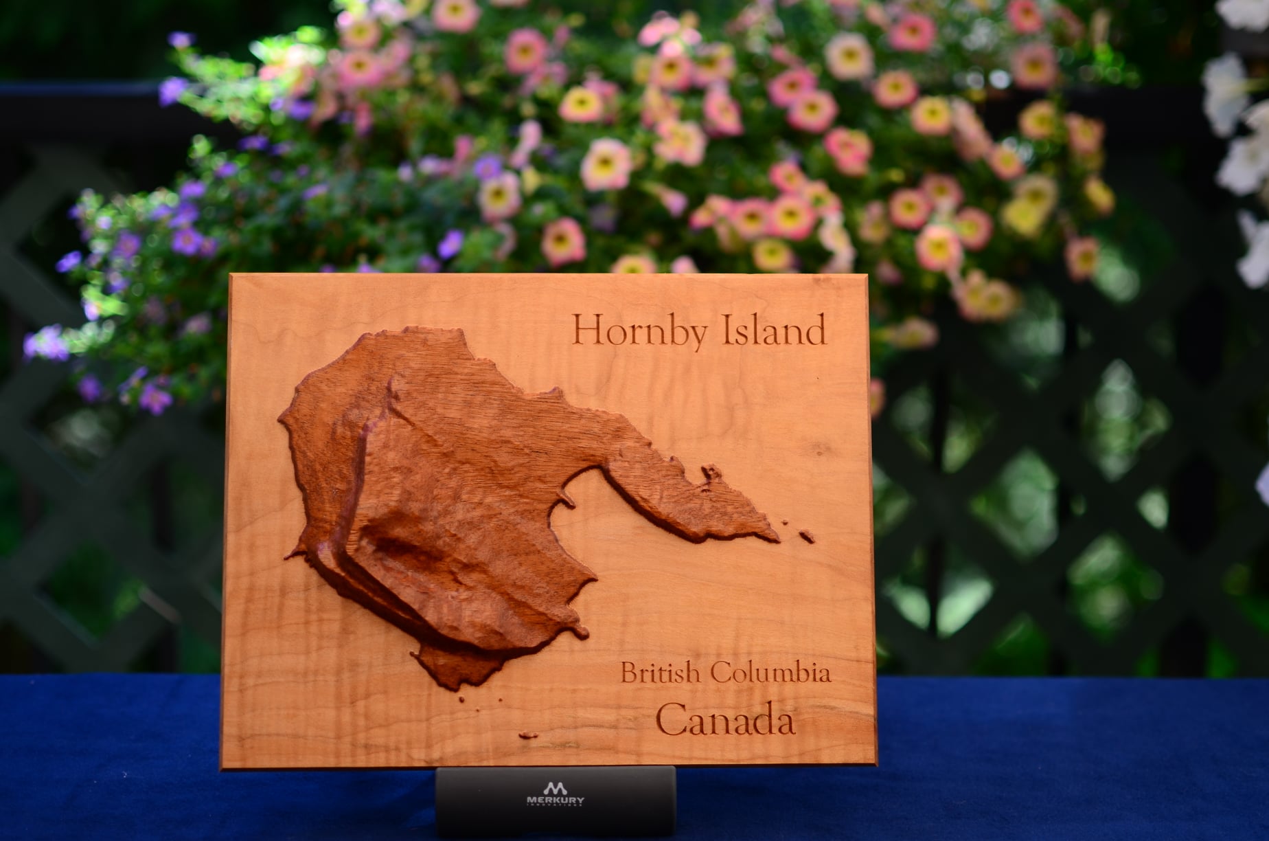
This looks really good. Did you glue the island onto a substrate? How did you get the tiny islands to mill without chipping off?
Here’s a bit more on the Hornby Island carving here:
This topic was automatically closed 30 days after the last reply. New replies are no longer allowed.