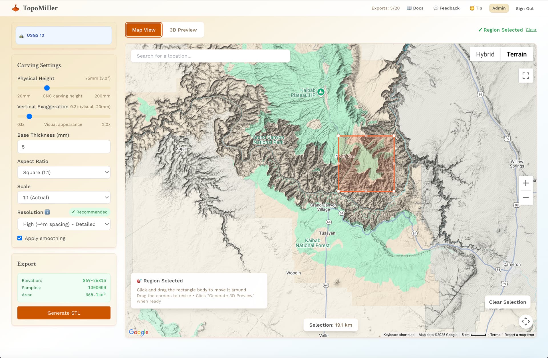
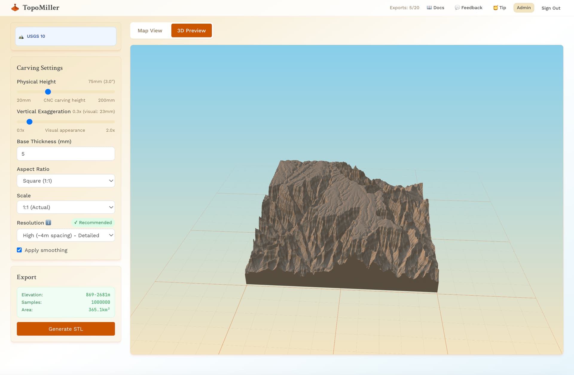
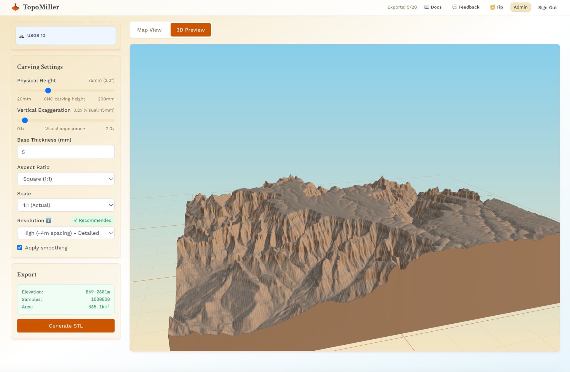
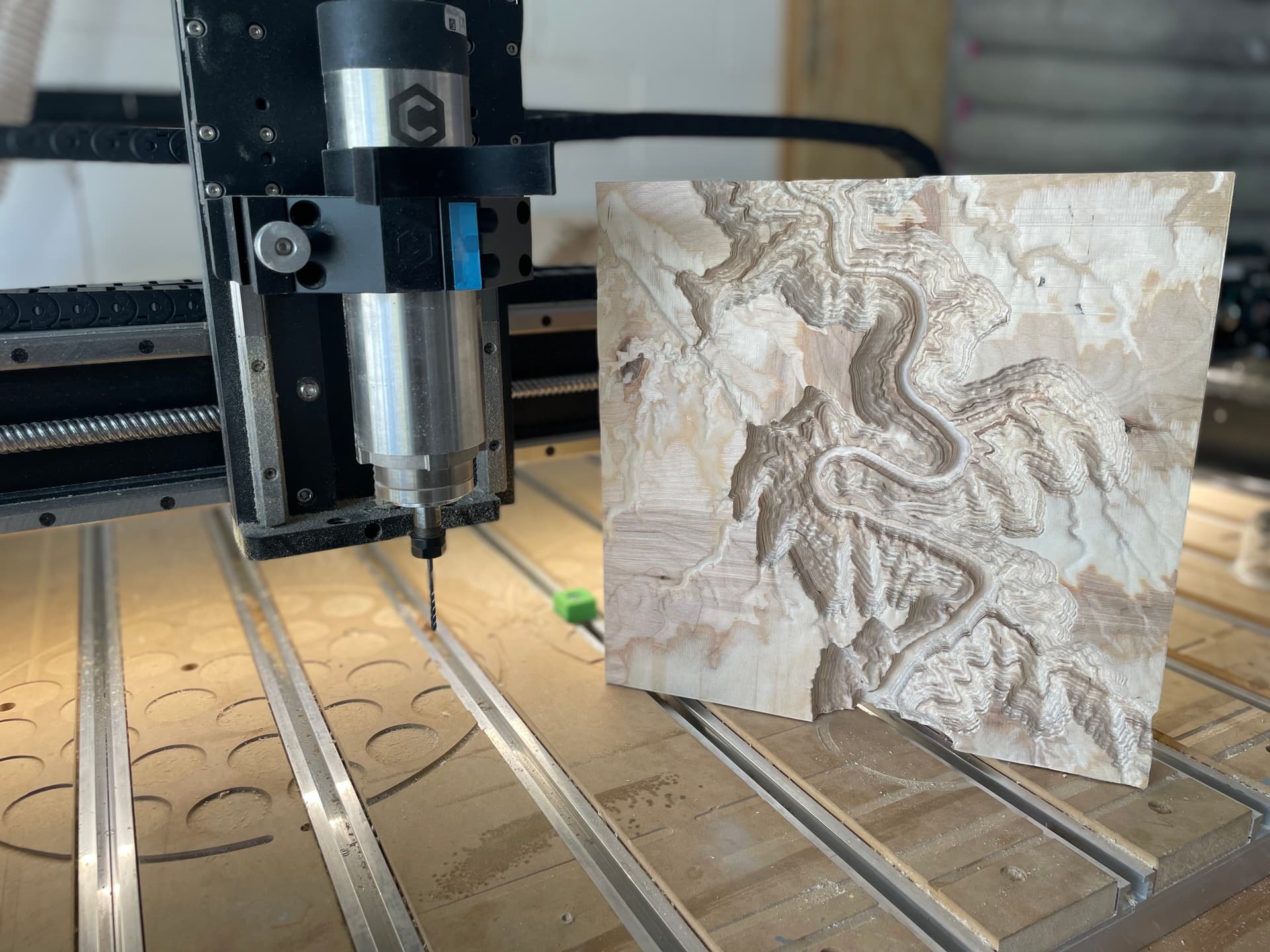
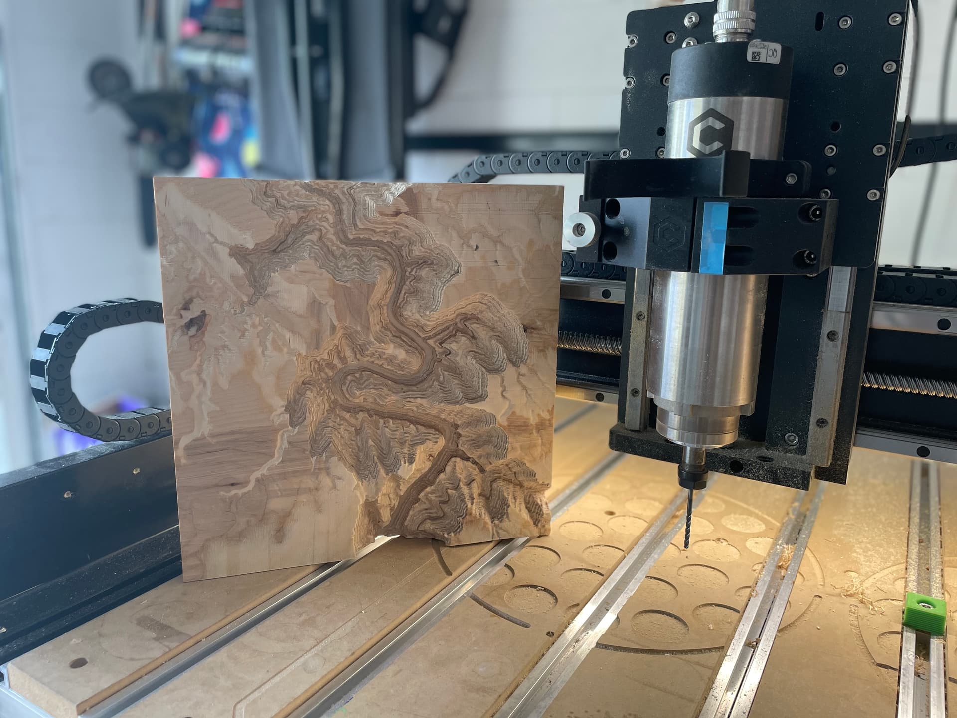
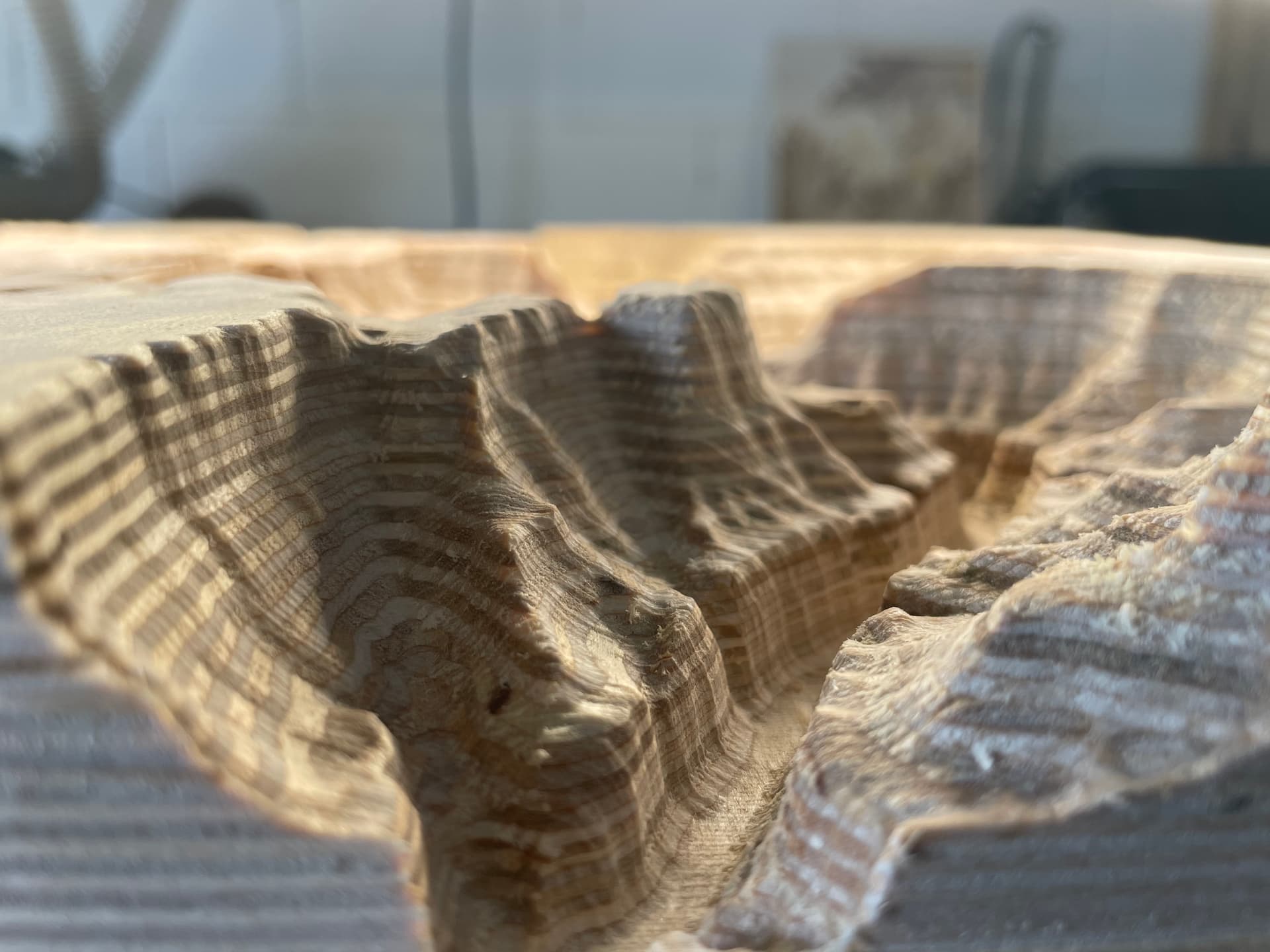
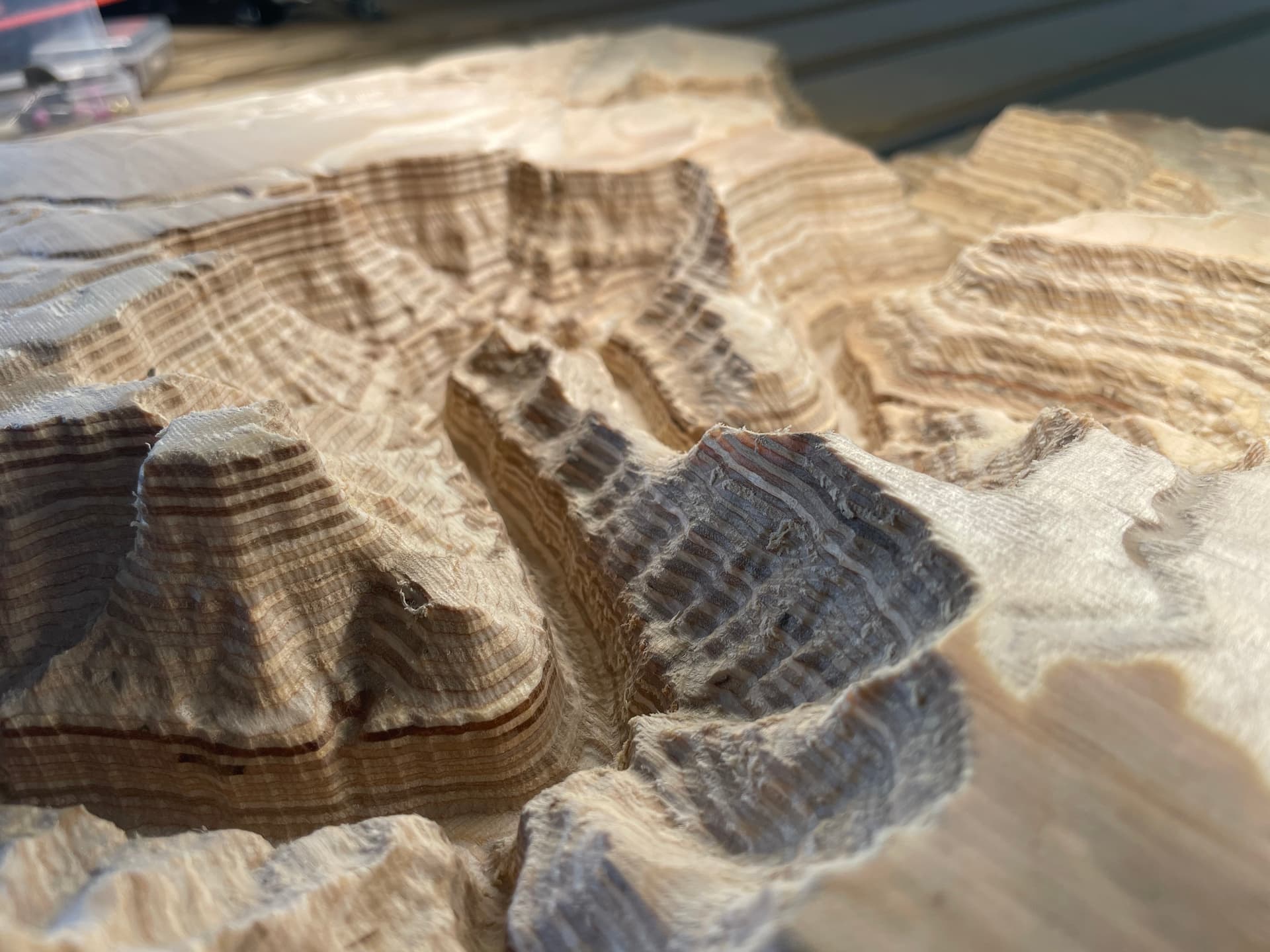
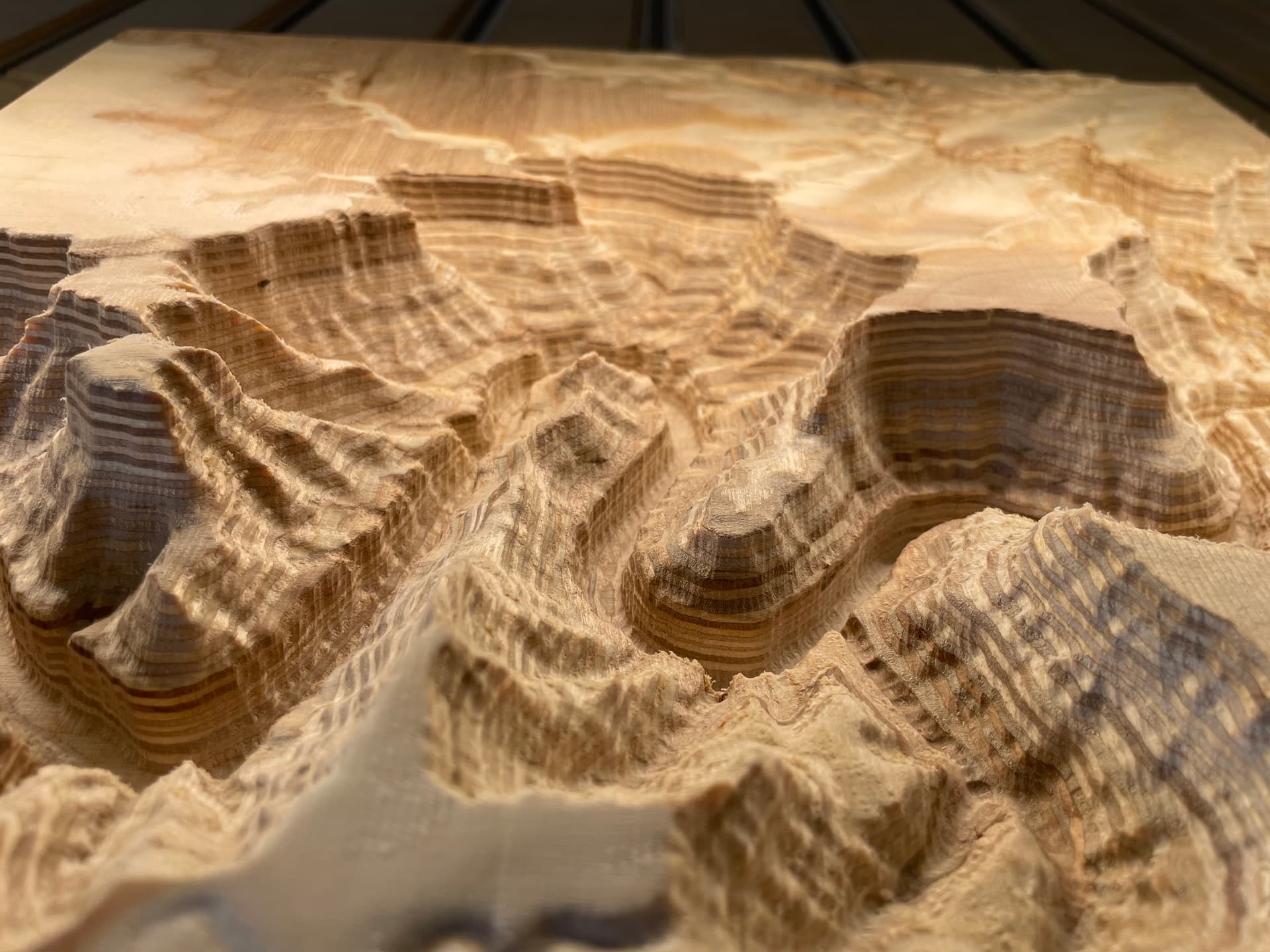
I’ve always been interested in 3D Topographical Relief carvings, but they have been intimidating. I created TopoMiller - a free tool that made it easier for me. Would love feedback for any who are interested!
15 Likes
Took a cursory glance at it and it looks cool! Any chance Canada will be added in the future?
@Jeffish , Thanks for taking a look!
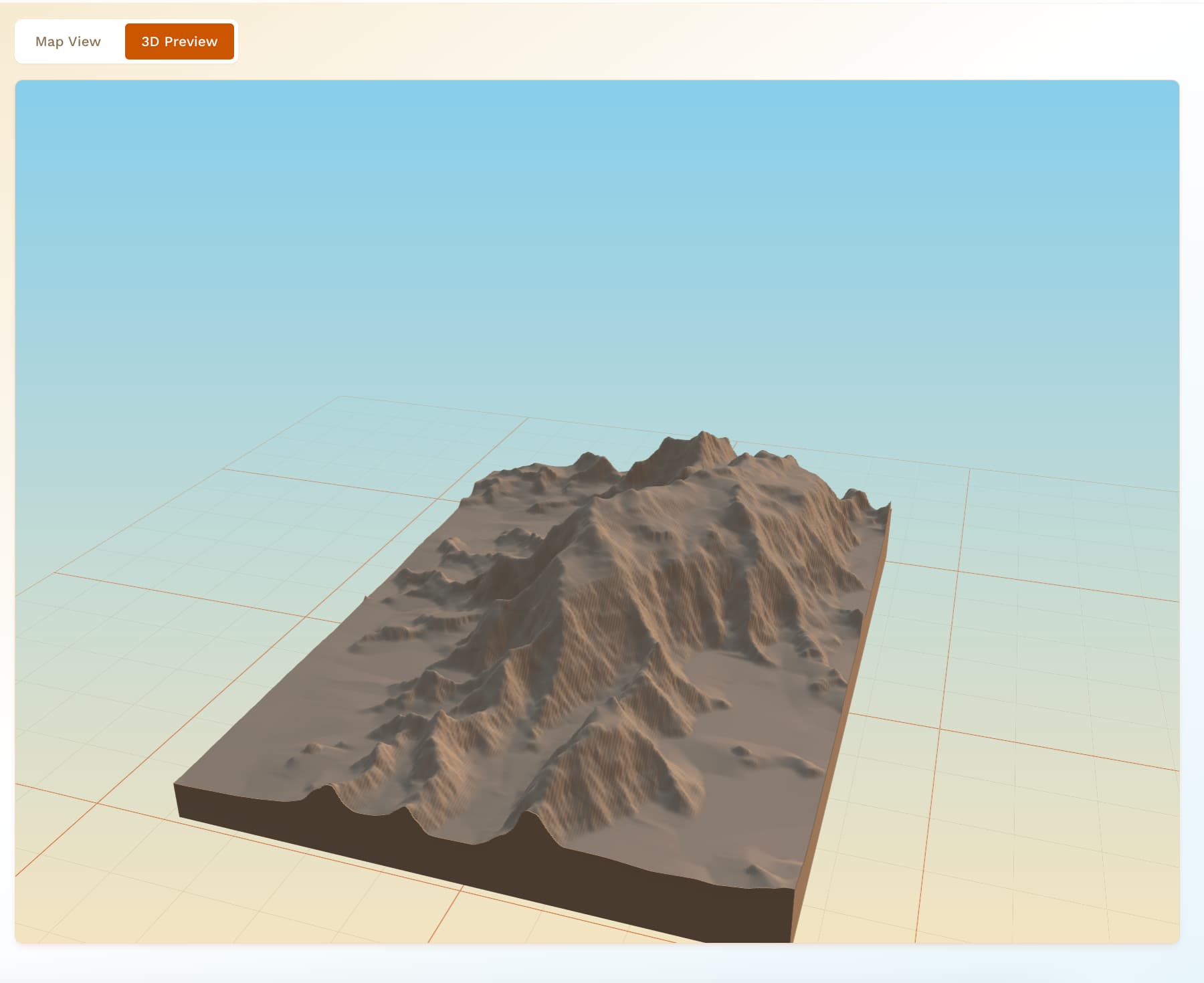
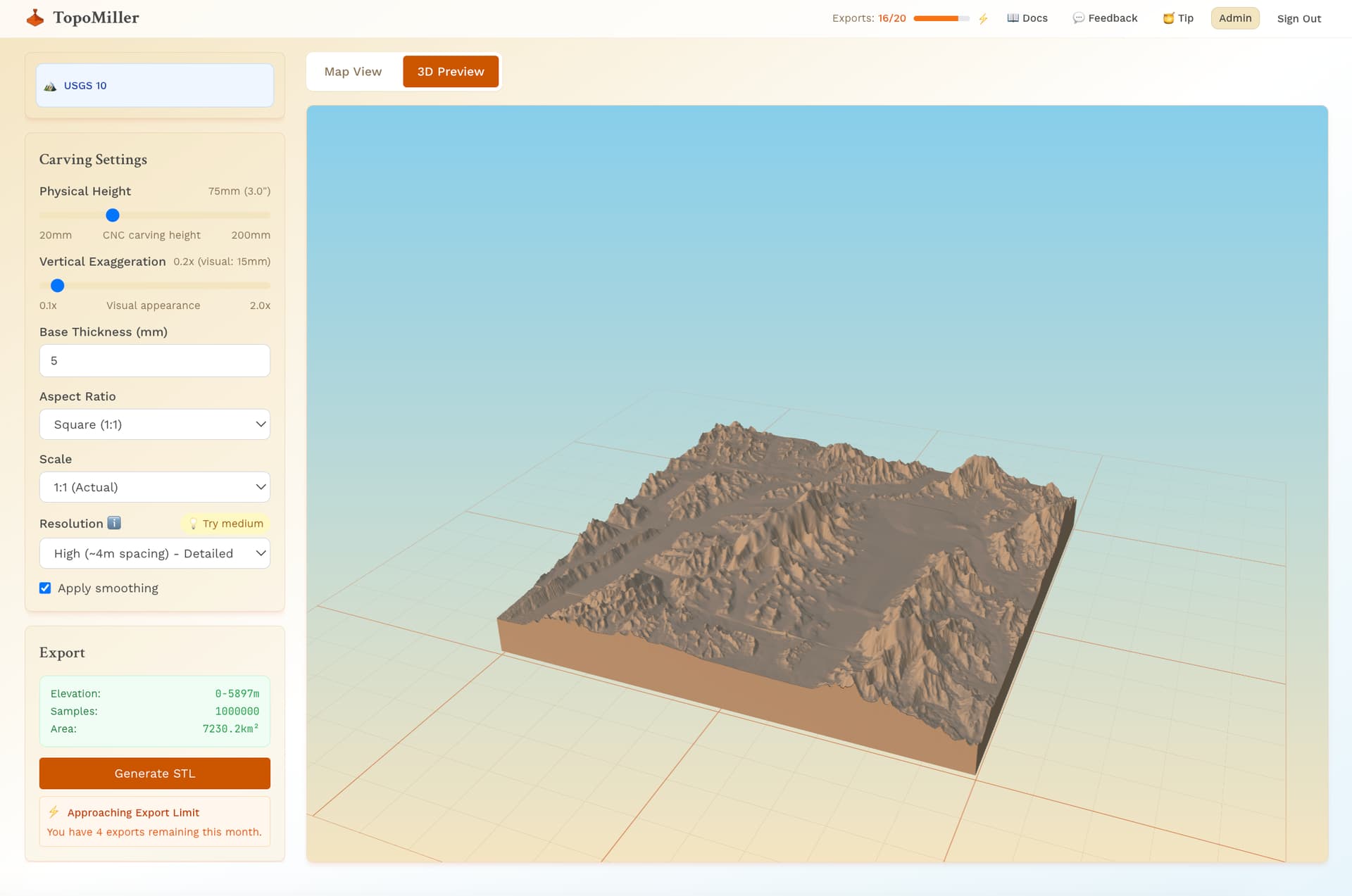
Interestingly, it does seem that at least some parts of Canada are included in the USGS 10M data set that I am using for TopoMiller. Here is Mount Logan.
5 Likes
It would be possible to look at your program if you’re “Sign Up” would accept my email and password. Its a free program, right? Why so much security?
1 Like
@CrookedWoodTex , Uh oh. You’re not able to sign up?
It is a free program, that is correct. However, I am gathering a user base to establish a community and keep everyone up to date.
If you’re not able to sign up, please let me know and I should be able to resolve the issue for you!
All the best,
Mitch
TopoMiller
1 Like
I took a look at it also. Do you know recent the map data is?
Hi, @Ed.E,
I am using USGS 10M data from the USGS 3D Elevation Program (3DEP).
After a quick look up, here is what I found:
" the “recency” of the USGS 10 m elevation data is variable:
- In the best-surveyed areas, the source lidar or other elevation data may have been acquired fairly recently (within the last few years).
- In less-surveyed or remote parts, the elevation may still be from older surveys.
- The seamless product is being updated over time; the published seamless DEM as of 2021 is the baseline, with incremental updates since then."
2 Likes
Do you have the ability align map data ( roads, streams, etc ) to the terrain data ?
If that can be projected on to the mesh a contour/pencil operation would carve it in at some depth.
2 Likes
Looks really interesting! I’ll sign up and give it a try for sure. 
1 Like
@CrookedWoodTex , I live in Florida and our data base is in Ohio…
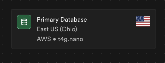
Well, gathering of data obviously isn’t necessary for users to test my software. However, it is necessary for proper metrics, user / developer feedback loops, etc…
I’ll look into certain domains being blocked. Thanks for the feedback.
All the best,
Mitch
TopoMiller
@jtclose , that is a really good question.
Right now, bodies of water show up pretty flat as that seems to come with the USGS 10M Data. Roads and cities are definitely something we are looking into for future releases!
All the best,
Mitch
TopoMiller
This is extremely cool! I will definitely be using this. First question/feedback is around resolution choice. The defaults work well for larger areas, but i was testing with something smaller like my suburb in Nashville. Its pretty hilly so would be an interesting job and it felt like the resolution needed to be higher. Curious if there can be some way to let the resolution max can be influence by the total area? Totally get you need to keep the triangle count down especially on dog ass slow computers, just thinking it would be nice to provide a bit more control so we can do smaller areas.
Also noticed the confirm email was still branded from Supabase instead of TopoMiller. Being a supabase user myself i knew what it was but could confuse some new users.
Bravo on this extremely cool project!
4 Likes
I found the verification email in my spam, and then when I clicked the activation link, it said it failed, but i actually was still able to log in after that. maybe something like that?
I would 100% agree that higher resolution data needs to be high priority on your feature roadmap. It could easily be tied to area chosen, like inversely proportional to square area to maintain a relatively stable overall file size or some such.
The option to drill down (ha!) to a small geographic feature, but model it in higher res would be killer.
Thanks for the super cool project. As someone who works with topography daily as my day job, I’ll be watching this with great interest!
6 Likes
As someone who was really interested in topographic carvings, but didn’t want to be bothered to learn MicroDEM and stuff, this is awesome to see. I got two early thoughts:
- If you have an option to download a heightmap as a 16-bit PNG, that might reduce the file sizes people have to deal with if they have a suitable design program like Carbide Create Pro.
- If you can bring in boundary data (state/county outlines) this would be pretty dang powerful. Heck, if you get to the level of being able to offer a PNG + vectors for rivers/roads so I could overlay them in Create, I could see myself paying a couple bucks for credits to use this app.
10 Likes
To echo the common sentiment, higher resolution should be a priority…but maybe implement it in a generic way that lets you lower it selectively as well 
You could imagine Mike’s suggestion of drilling in to the focus of the map and having resolution lower as you move away from the selected focus area.
Little things like that could make for some very cool art. I also know plenty of folks like the low poly aesthetic as well, so lowering it to absurdly low poly counts would be just the ticket for some folks…also much quicker to machine but that’s just me being selfish 
Also strong +1 for the png, that would be generally useful in some lasering applications as well.
Awesome stuff 
1 Like
@wmoy ,
Thanks so much for this feedback. If I am remembering correctly, it was one of your 3D Topographical carvings on the Youtube channel that actually inspired me. It is an honor to have you comment here.
To number 1 & 2. Yes, these are on our feature lists FOR SURE. Hopefully coming out sooner rather than later.
Thanks so much for the support.
All the best,
Mitch
TopoMiller
3 Likes
@HeuristicBishop , thanks for this feedback. Jotting all of this down and working to make this better according to everyone’s feedback!
All the best,
Mitch
TopoMiller
1 Like
It will be handy when you guys have a laser attachment that travels in the z axis.
That way you can cut or burn the line art features.
1 Like
UPDATE:
You asked, we answered!
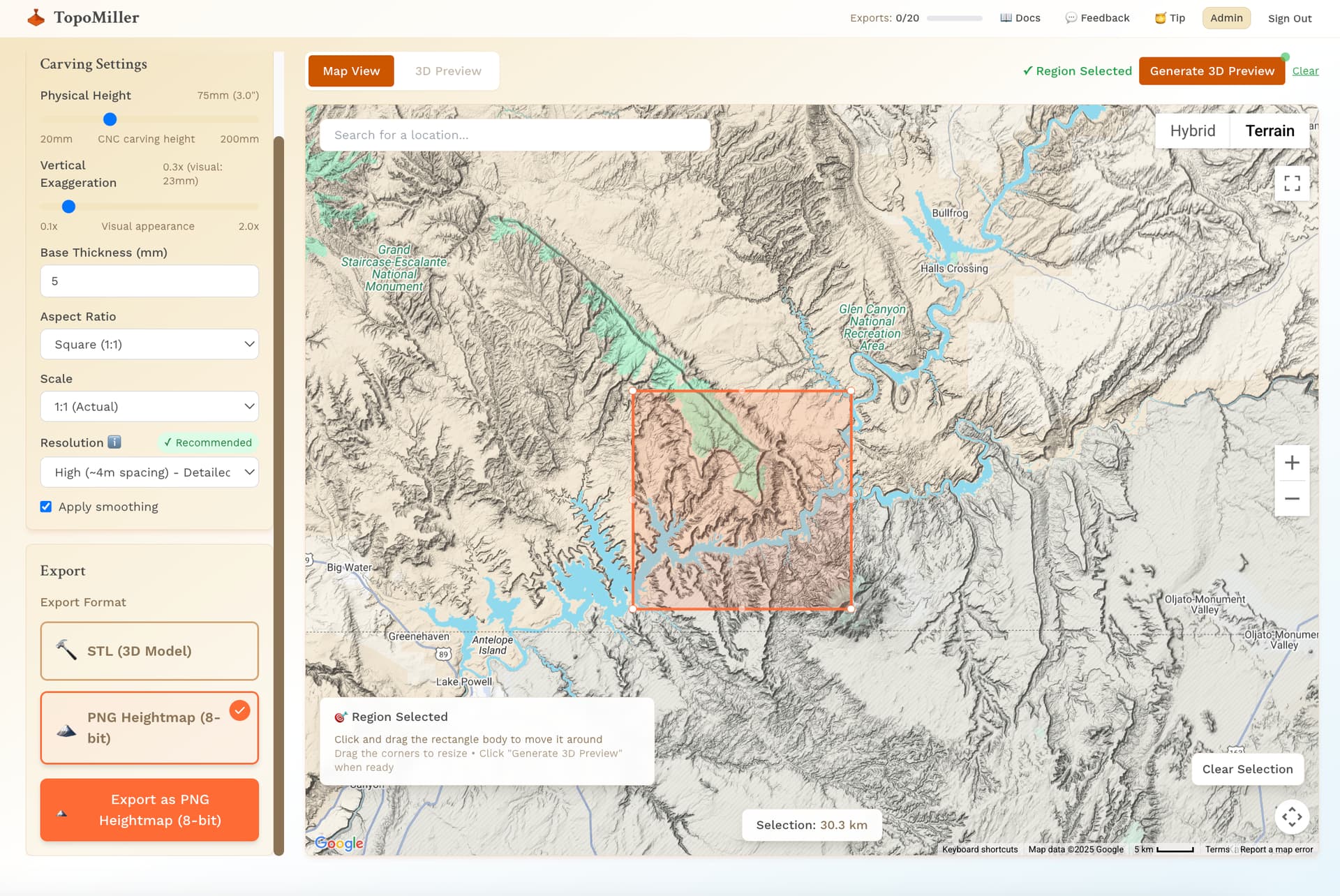
Per user feedback, TopoMiller now supports PNG heightmap exports in addition to STL exports. This is one small addition in a line of more changes to come.
Thanks everyone for your patience, feedback, and support… especially during these early stages of research and development.
10 Likes